


This is my favourite hike up Untersberg. On a map I bought on a previous trip, a curious line leads up the mountain from Hangendenstein (“Hanging rock”) near the border between Germany and Austria. The description of the hike reads as follows: “Caution! This trail has deteriorated beyond recognition in places and can only be climbed with people who know the area.”
Needless to say, this piques my interest, and I begin to research. I learn that the trail is called Kienbergsteig, and after some digging, I find a more detailed description and a GPS track. Stable weather and a sunny day give me further confidence to give it a go.
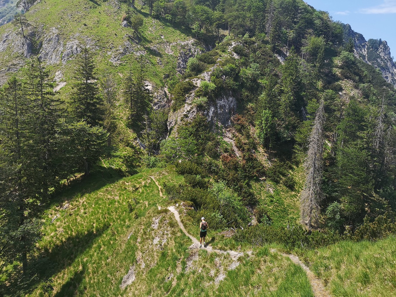
The starting point is a little tricky to find the first time around. Near a small bridge next to the main road, a path leads into the forest. After a while, the hardest part is to find where the actual trail starts. To the left of the main track, hidden underneath dead branches and fallen leaves, I spot what appears to be a narrow path winding upwards. I follow it for a few minutes, and soon yellow markings on the trees and rocks boost my confidence that I’m on the right way.
Having a GPS device (and a map and compass) is helpful. While some of the markings have been repainted since I first hiked this trail, it’s still very possible to get lost if you’re not careful.
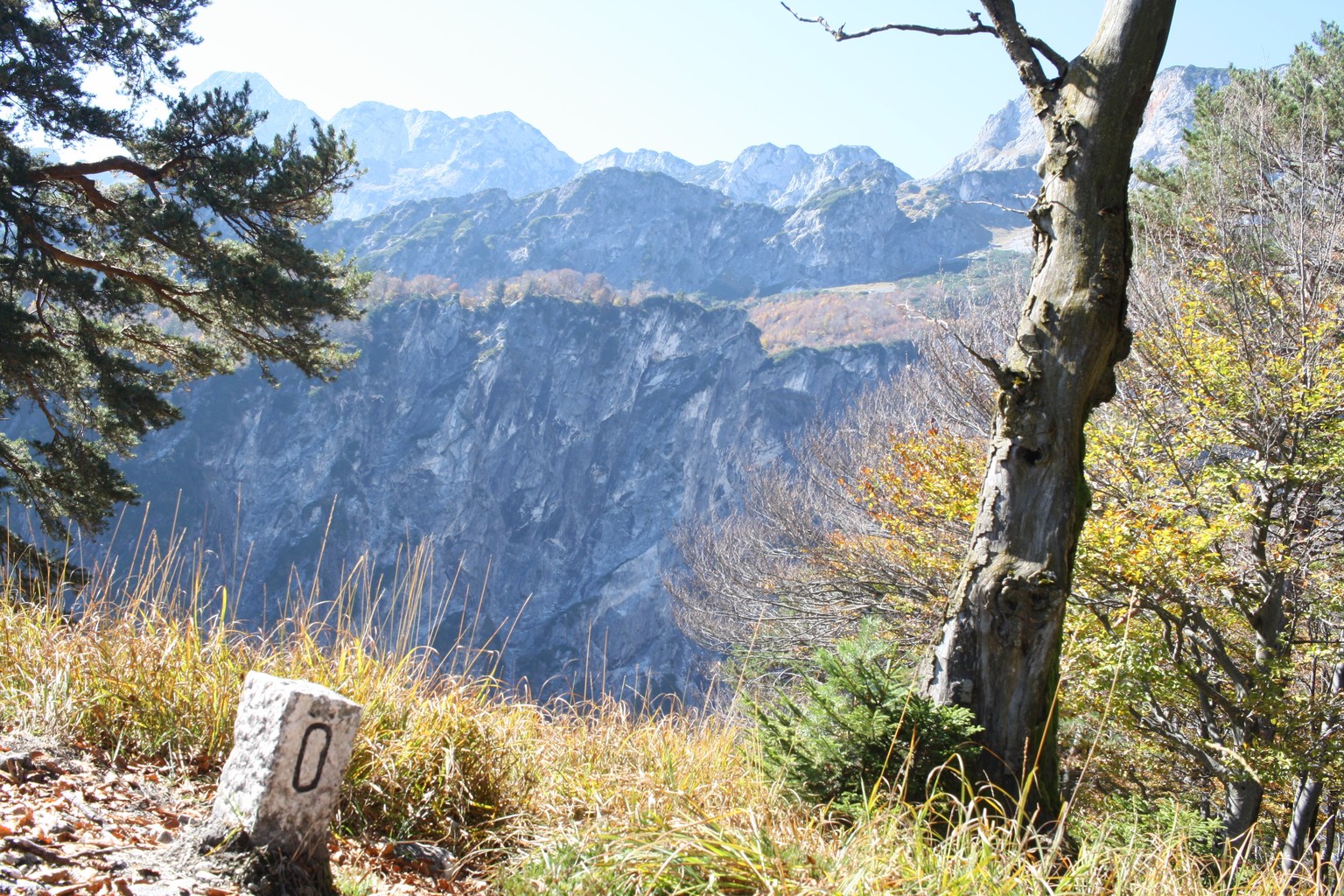
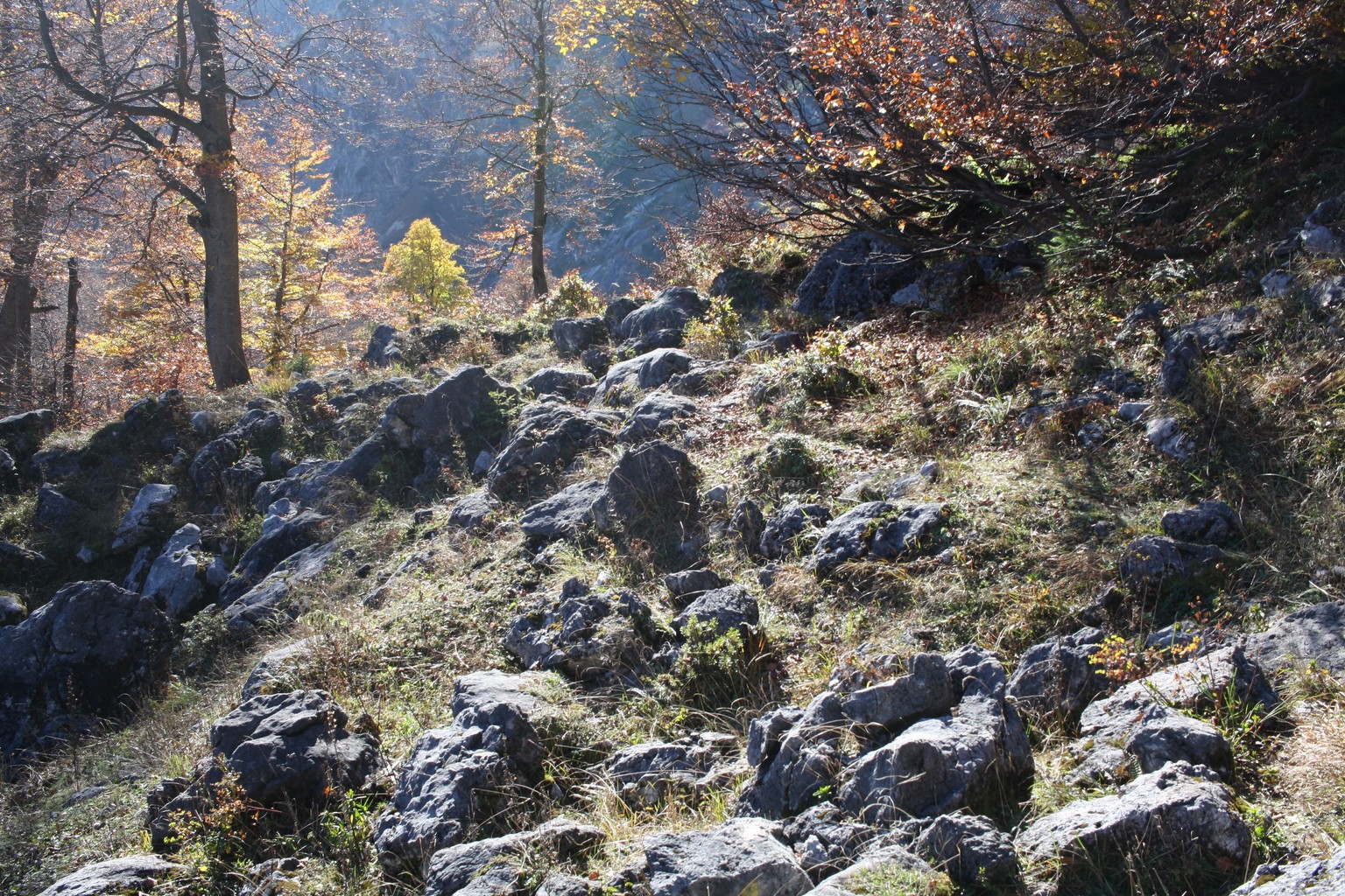
From a technical standpoint, it’s a moderately challenging hike, an exciting mix of rocky trails across the forest and narrow, overgrown dirt paths following a ridgeline between knee-deep grass. It has steeper parts and one slightly exposed section traversing a few metres of rock with iron rungs for support. In my opinion, the trail is problematic when wet and probably left to experienced locals in winter. Another caveat during the rest of the year is its large number of ticks. Since this trail is less often hiked, vegetation is more prevalent and long pants are a good idea even on a hot summer day.
However, my reward for exploring this route is that I can always find solitude here. Even on a bright day when hundreds and sometimes thousands of hikers flock to the more popular parts of the mountain, it remains a peaceful place where you might not run into another hiker all day.
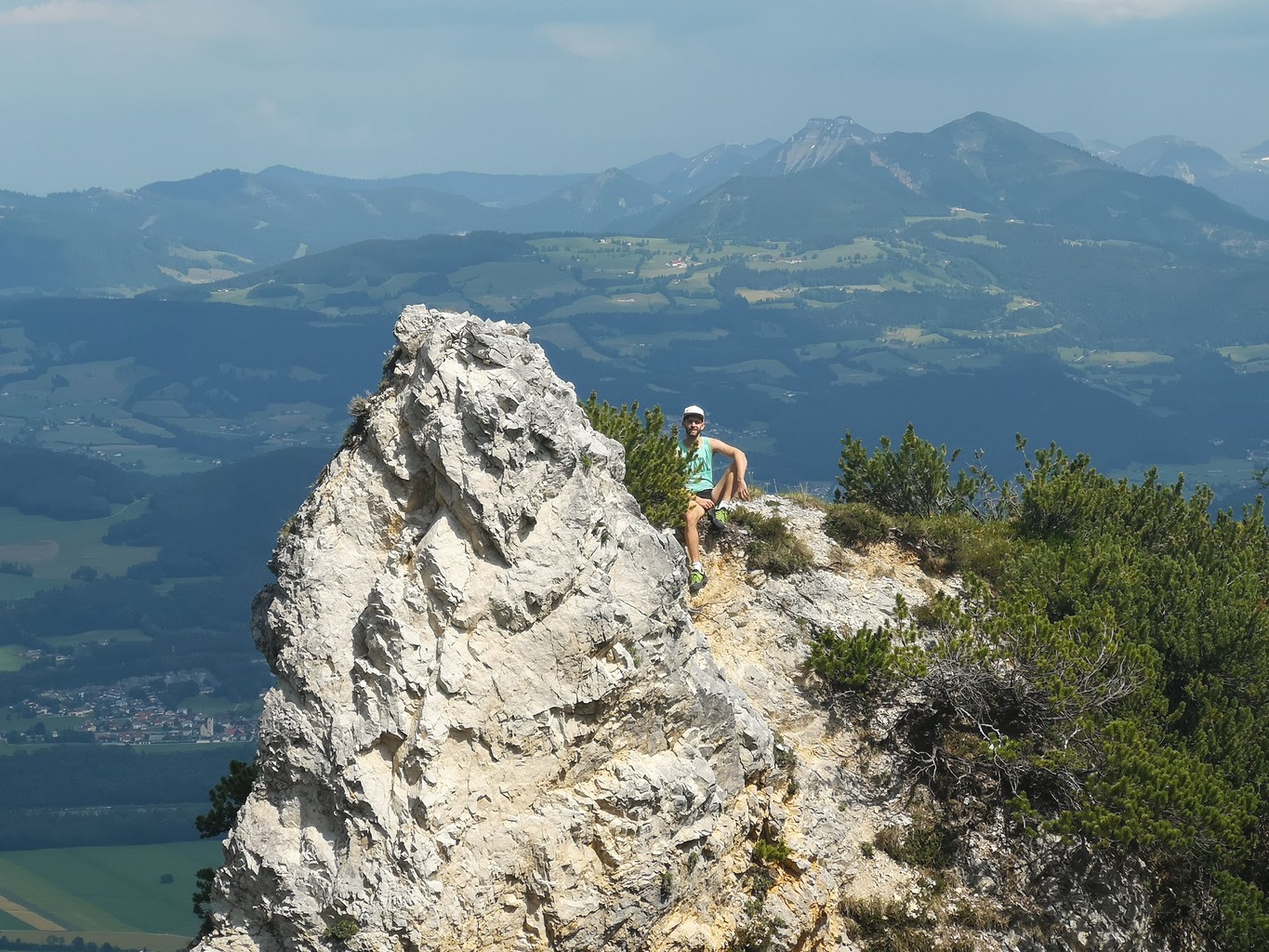
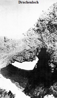
After about an hour’s climb, I reach the top of Kienberg and take some rest. I then make my way towards the famous Drachenloch (“Dragon’s hole”, 龍拱), a few metres off the trail. The mountain used to form a natural arch here, the “hole” underneath giving the spot its name. In 1935, the top part broke off, only leaving behind a pillar overlooking the village of St. Leonhard below. Today, a street is named after it. I used to live there for a few years, so, naturally, this spot has become a personal must-visit.
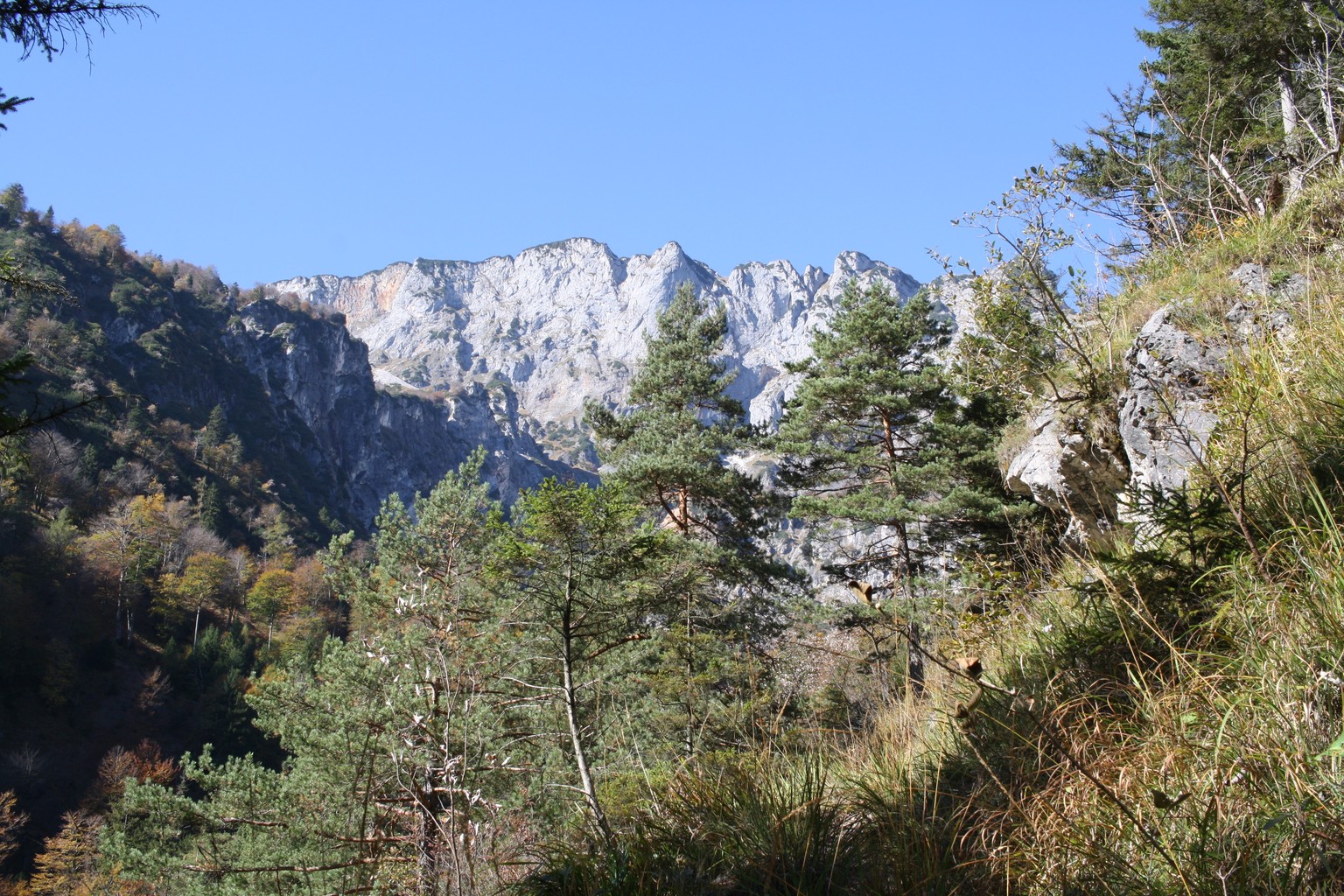
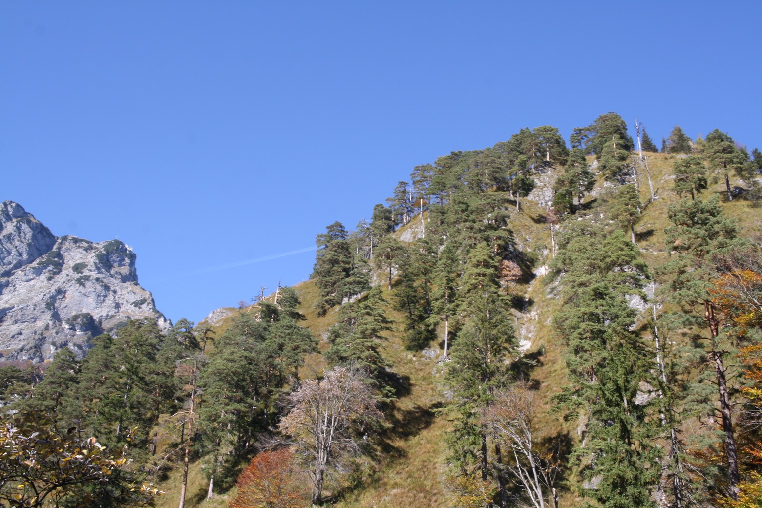
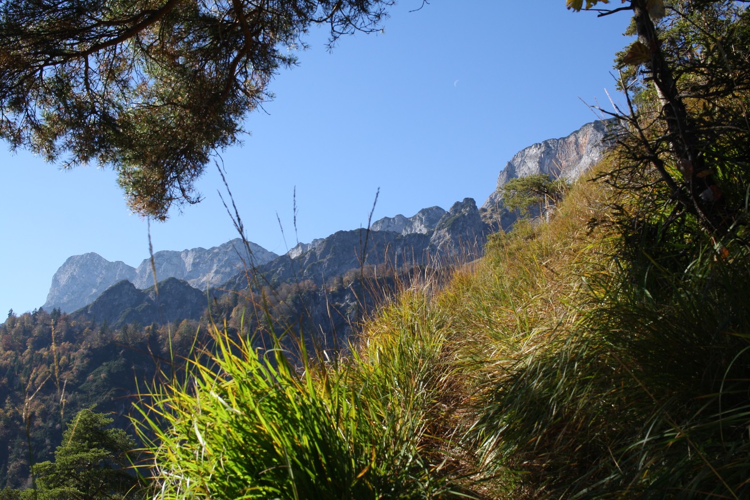
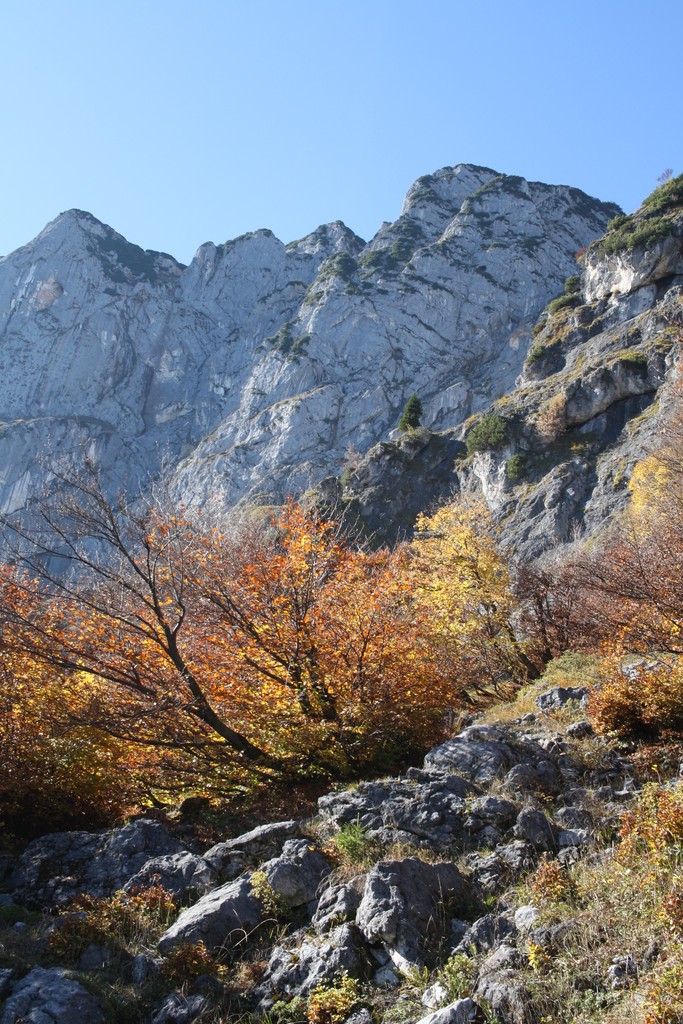
The trail slowly leads out of the forest from here, soon exposing breathtaking views of the Untersberg massif in front. After some time, I reach an intersection. To the right, a path connects over the Schellenberg saddle to the Dopplersteig. However, to the left lies the Toni-Lenz mountain hut, a welcome rest stop for food and beer, or sometimes just a few sips of water from its well. It’s also the starting point for tours exploring the nearby ice cave.
When short on time, it’s possible to turn around here. After a brief hike, a dirt road stubbornly winds down through the forest its many turns seemingly neverending. Finally, it’ll arrive at the main road near the village of Marktschellenberg, a few hundred metres from the starting point of Kienbergsteig. It’s not the most exciting route, but it can be walked or run down without difficulties and fast.
Those in search of excitement need to look upwards from Toni-Lenz cabin. Another classic route leads to the Mittagscharte from there, the somewhat exposed Thomas-Eder Steig. Its wooden stairs are a common sight on Untersberg. The twist here is that they lead through several short tunnels broken out of the mountainside using explosives.
I use the final part as a workout, huffing and puffing my way upwards. After the last set of stairs, a short scramble over rocks connects to another trail. Berchtesgadener Hochthron, the highest point of Untersberg at 1973m lies to the left. I continue to the right to the top of Salzburger Hochtron (1852m) and take the cable car down from nearby Geiereck to call it a day.